Papahānaumokuākea: ocean, ancestry and heritage
An ocean conservation story can also be a story of ancestry and responsibility. Keep those dimensions together without claiming to speak for Native Hawaiians.
Pasifika AI / Kanaky Tech ·
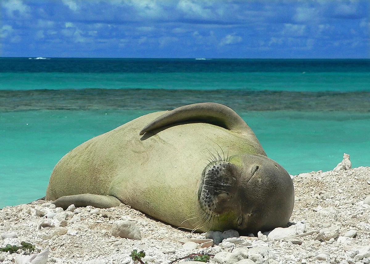
Hawaiian monk seal on East Island, French Frigate Shoals. An ecological context image, not a representation of Hawaiian spiritual knowledge.
MarkSullivan · Image record · CC BY-SA 3.0 · Resized and converted to WebP.
The documented starting point
Papahānaumokuākea lies northwest of the main Hawaiian Islands. UNESCO recognises its marine environments together with its significance for living Native Hawaiian culture. Nihoa and Mokumanamana hold archaeological evidence of earlier human presence. The site is described through relationships between people and the natural world, not biodiversity alone.
Source : UNESCO — Papahānaumokuākea
More than the visible islands
The UNESCO description includes reefs and lagoons as well as deep-water habitats, seamounts and submerged banks. Much of the property is ocean. An island photograph illustrates only a small part of its physical environment.
Source : UNESCO — Papahānaumokuākea
A closer reading
Research guidance · Pasifika AI
When preparing a map caption, distinguish the World Heritage property from later or differently defined administrative boundaries. Use the map date and its issuing organisation. Read cultural and ecological descriptions side by side, and identify what each contributes. An engaging classroom question is what gets lost when the same place is described only as a protected area. Do not convert the source’s spiritual discussion into a performance script, a generic mythology list or an invented first-person voice.
Check what a map actually covers
Research guidance · Pasifika AI
A map may show an ecological area, an administrative boundary or a World Heritage property. Before copying an area figure, identify which of those the map represents and the year it was issued. Do not combine a figure from one boundary with the label of another. For an ocean-focused presentation, explaining this distinction is more useful than selecting the largest available number: it allows readers to compare like with like and locate the source of a later change.
What this guide does not establish
Research guidance · Pasifika AI
Access, research and filming require their own checks with the responsible authorities. This page neither publishes a complete account of Hawaiian cosmology nor treats public documentation as permission to reproduce restricted knowledge.